Hi, I’m Ian.
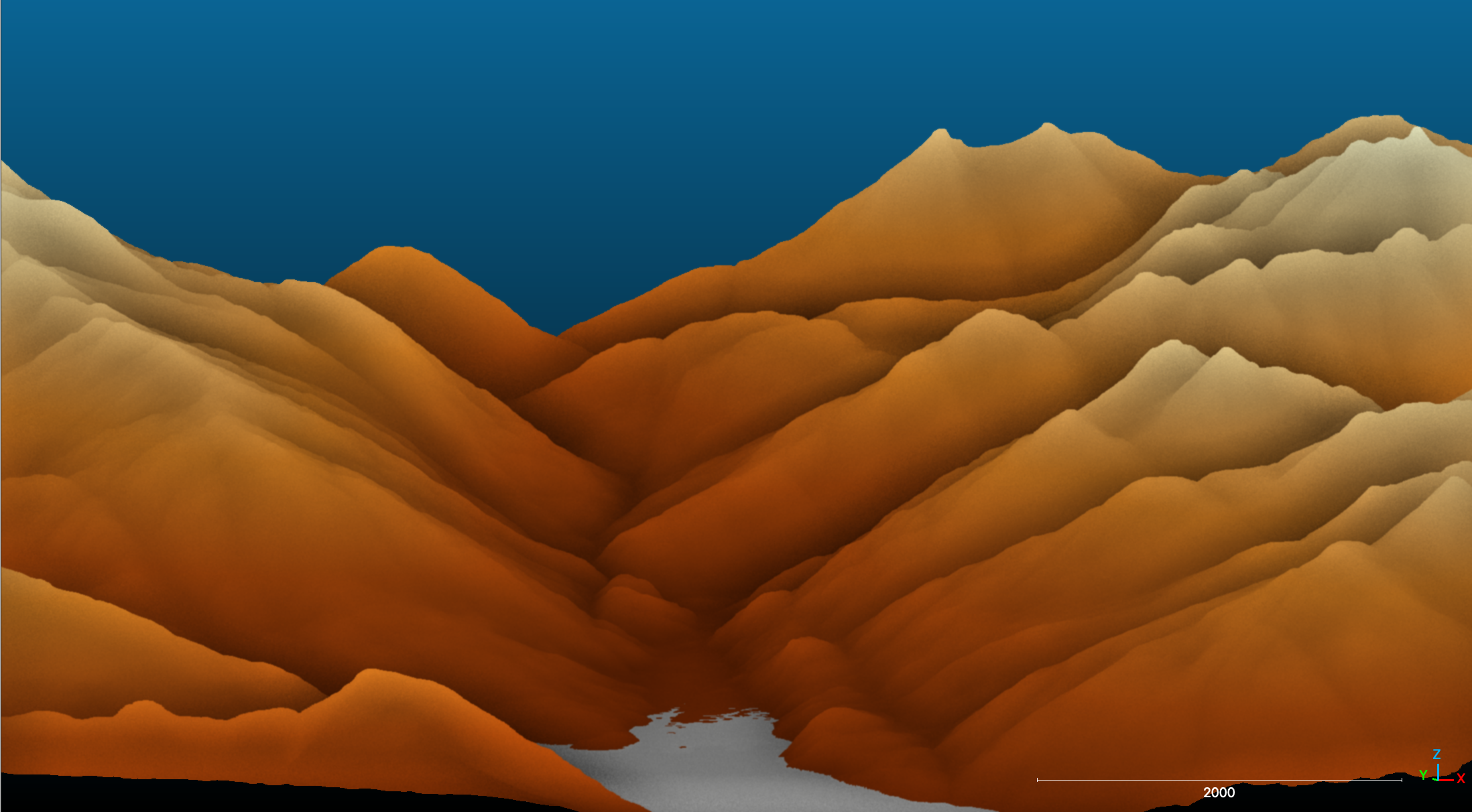
Maps are cool. And when I learned how to make them, they got even cooler. I use Python and other geospatial tools to map natural hazards, analyze 3D models, and make high-res aerial maps. To see some of my work, check out my portfolio. The mountains you see in the background are in Coast range of Southeast Alaska.
About
I’m interested in the surface of our Earth and what it can tell us about the past, present, and future. In 2020 I graduated from Franklin and Marshall College with a BA in Geosciences. I studied how repeated freezing and thawing erodes stream banks. Special thanks to Dr. Robert Walter for kicking off my obsession with needle ice began- pictures below!
I recently graduated with my Master’s degree in Earth Sciences from the University of Oregon. For my thesis, I mapped rockslide-prone areas near a small town in Southeast Alaska, you can read my thesis here. Before grad school, I spent two years aboard research vessels, conducting seafloor mapping and subsurface imaging of sediment layers.
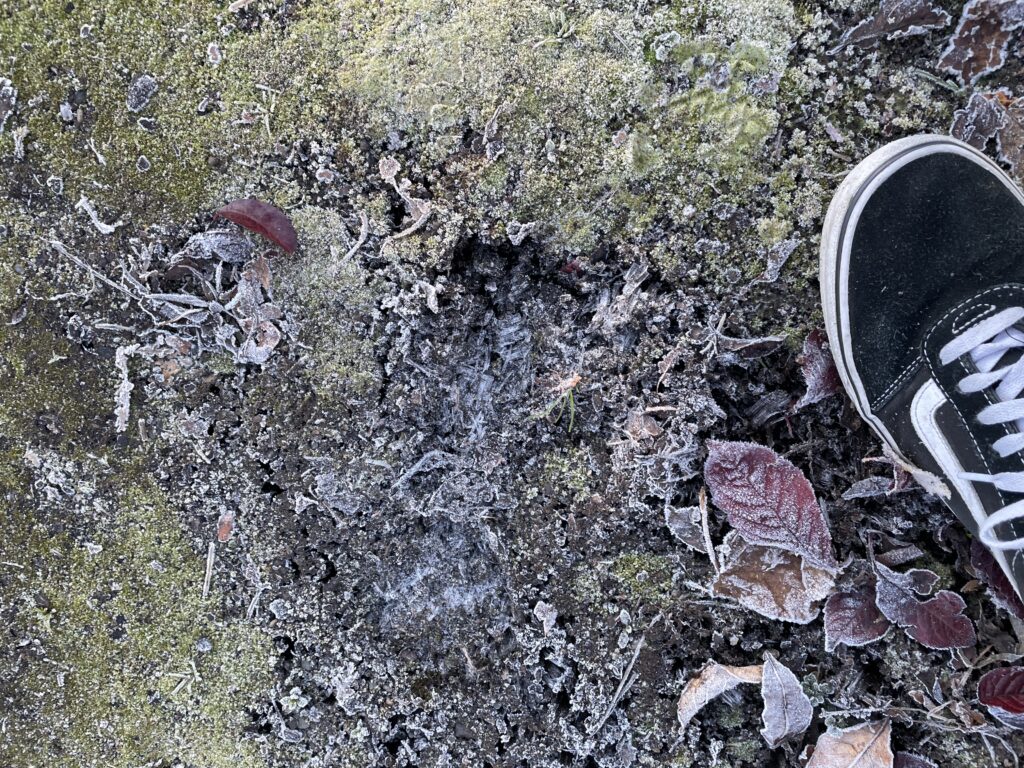
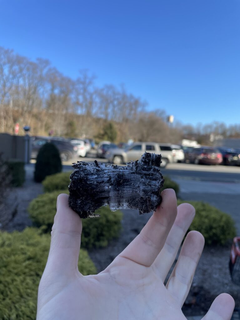
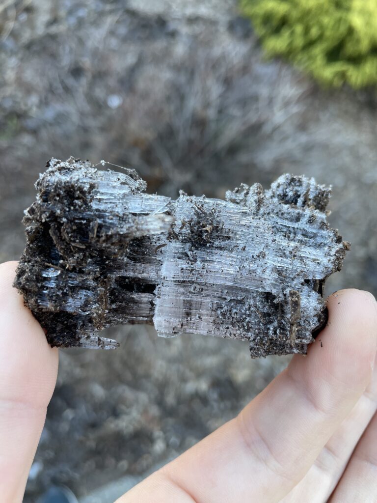
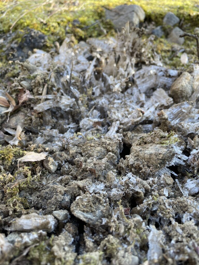
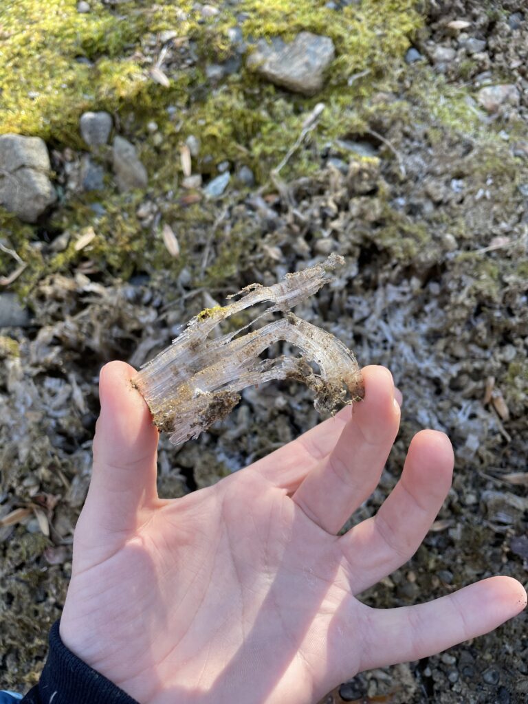
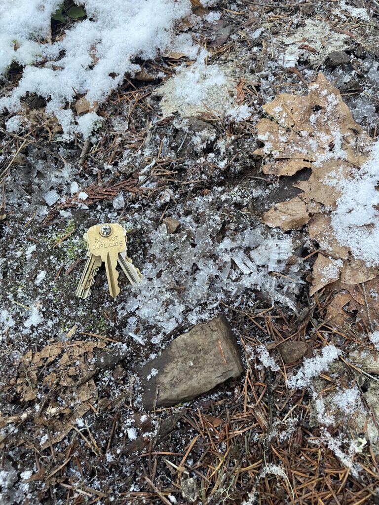
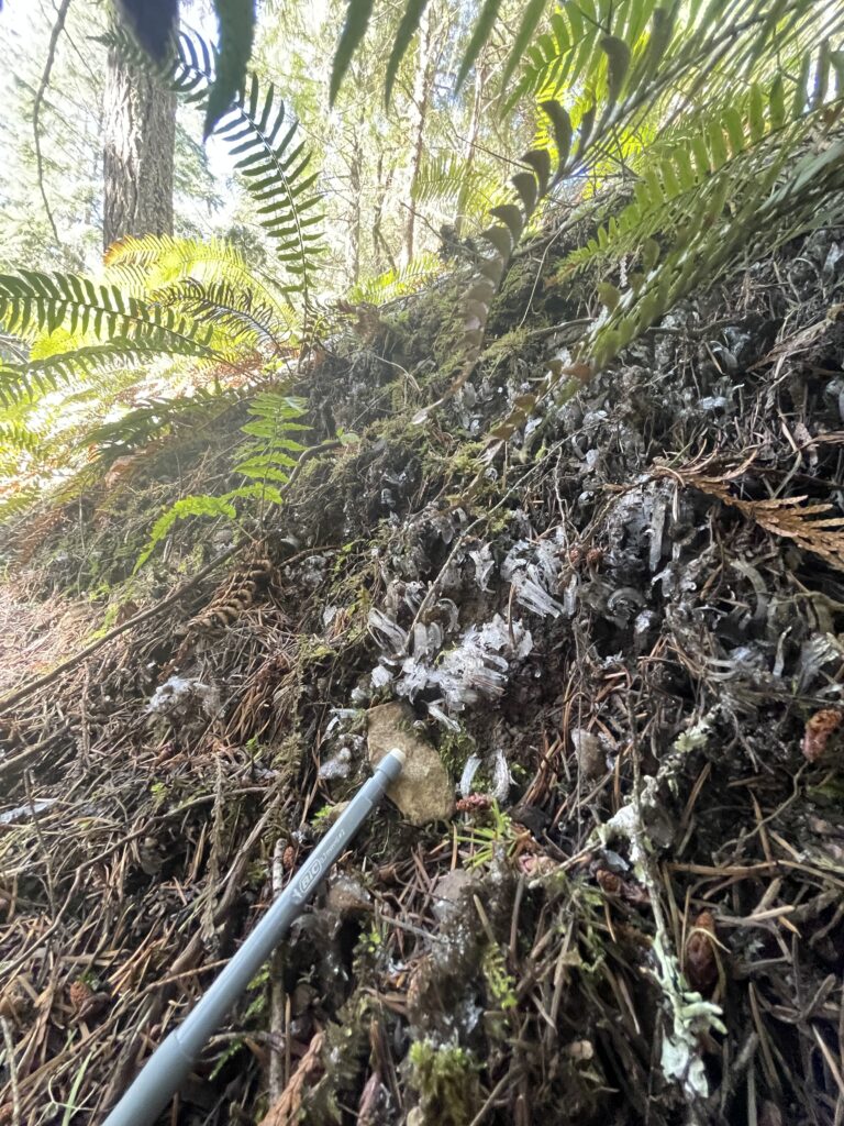
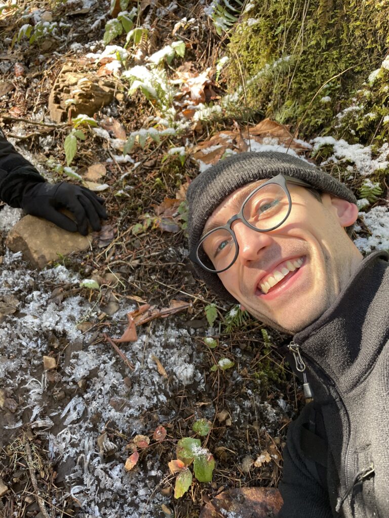
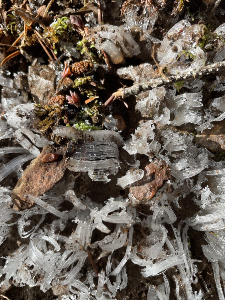
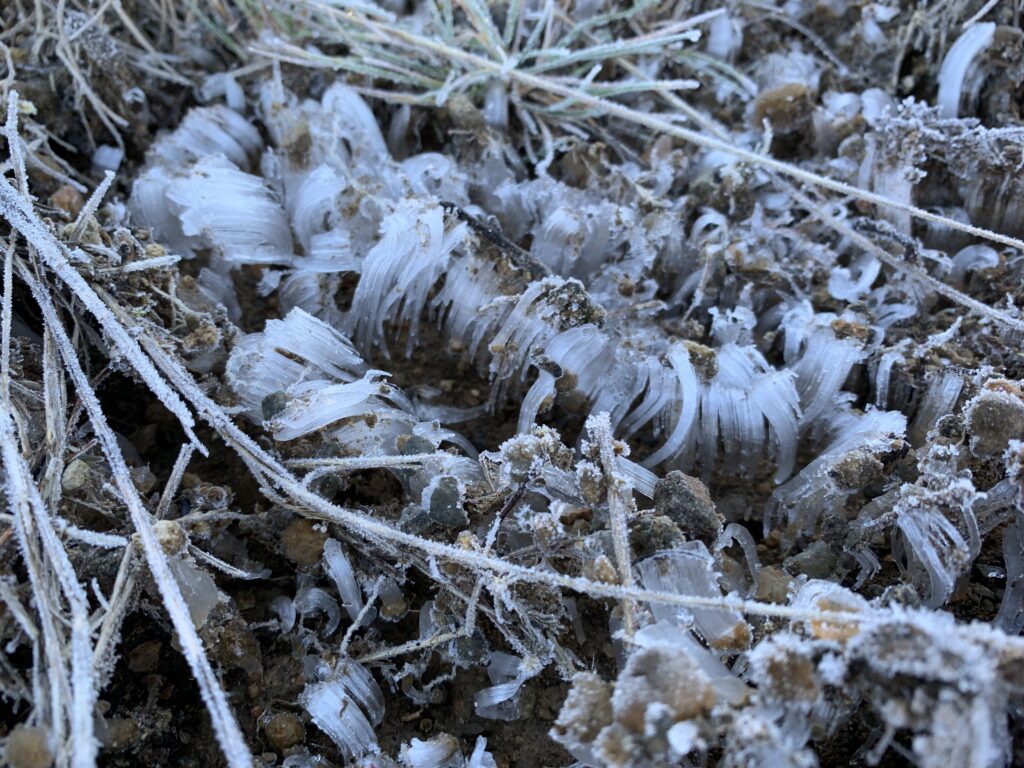
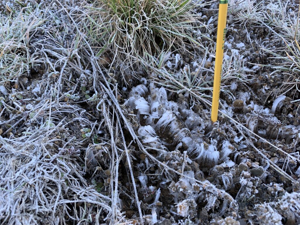
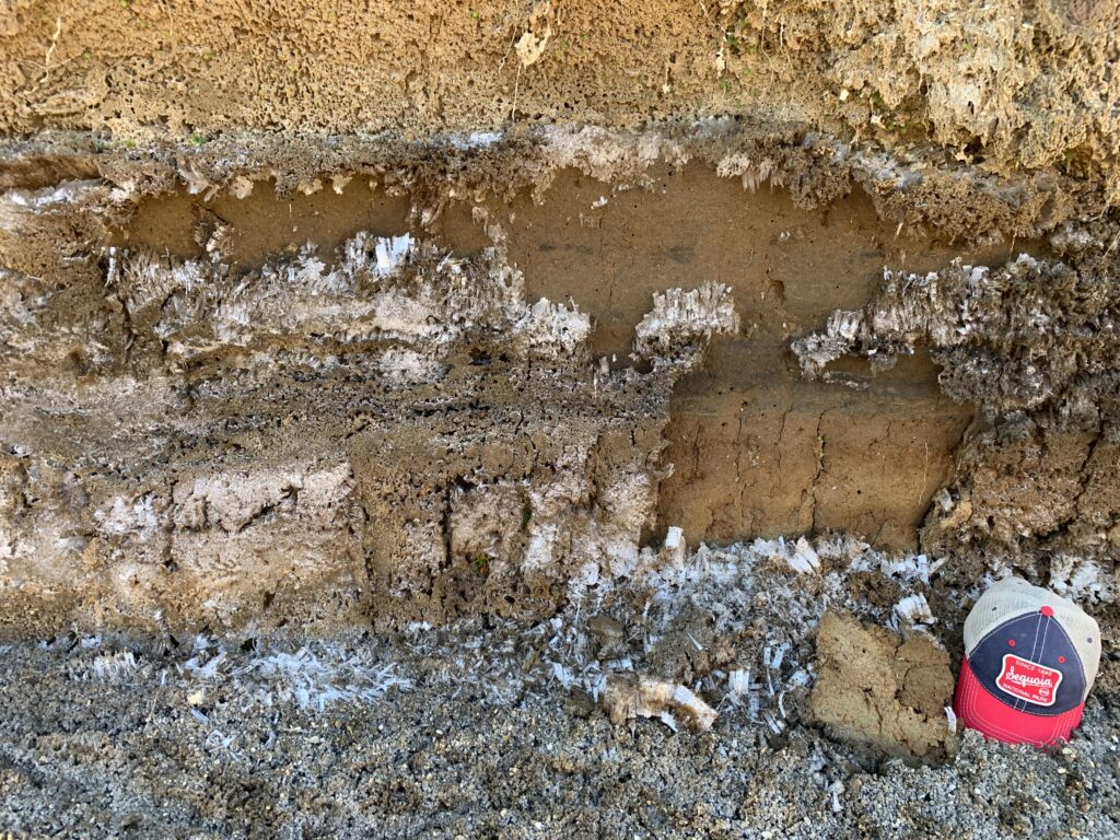
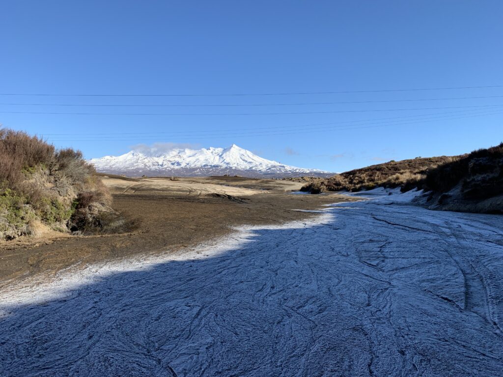
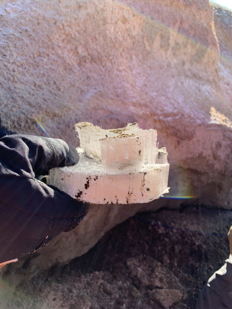
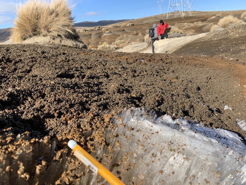
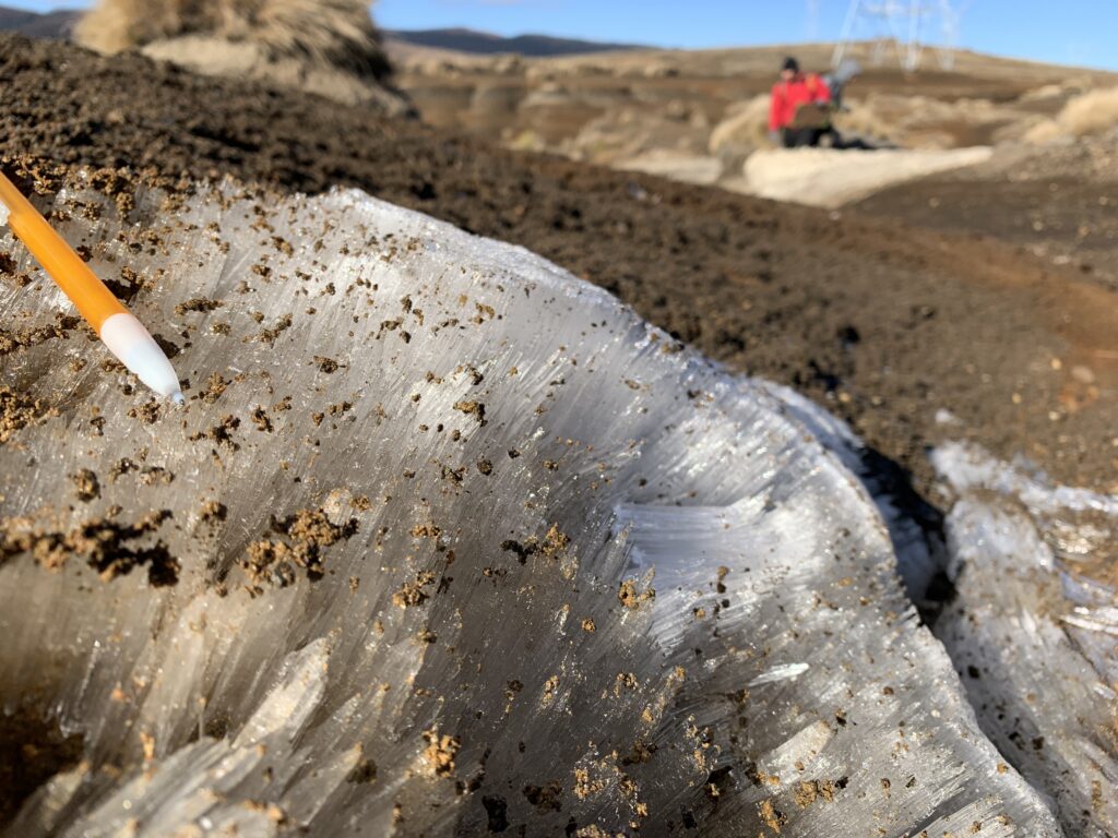
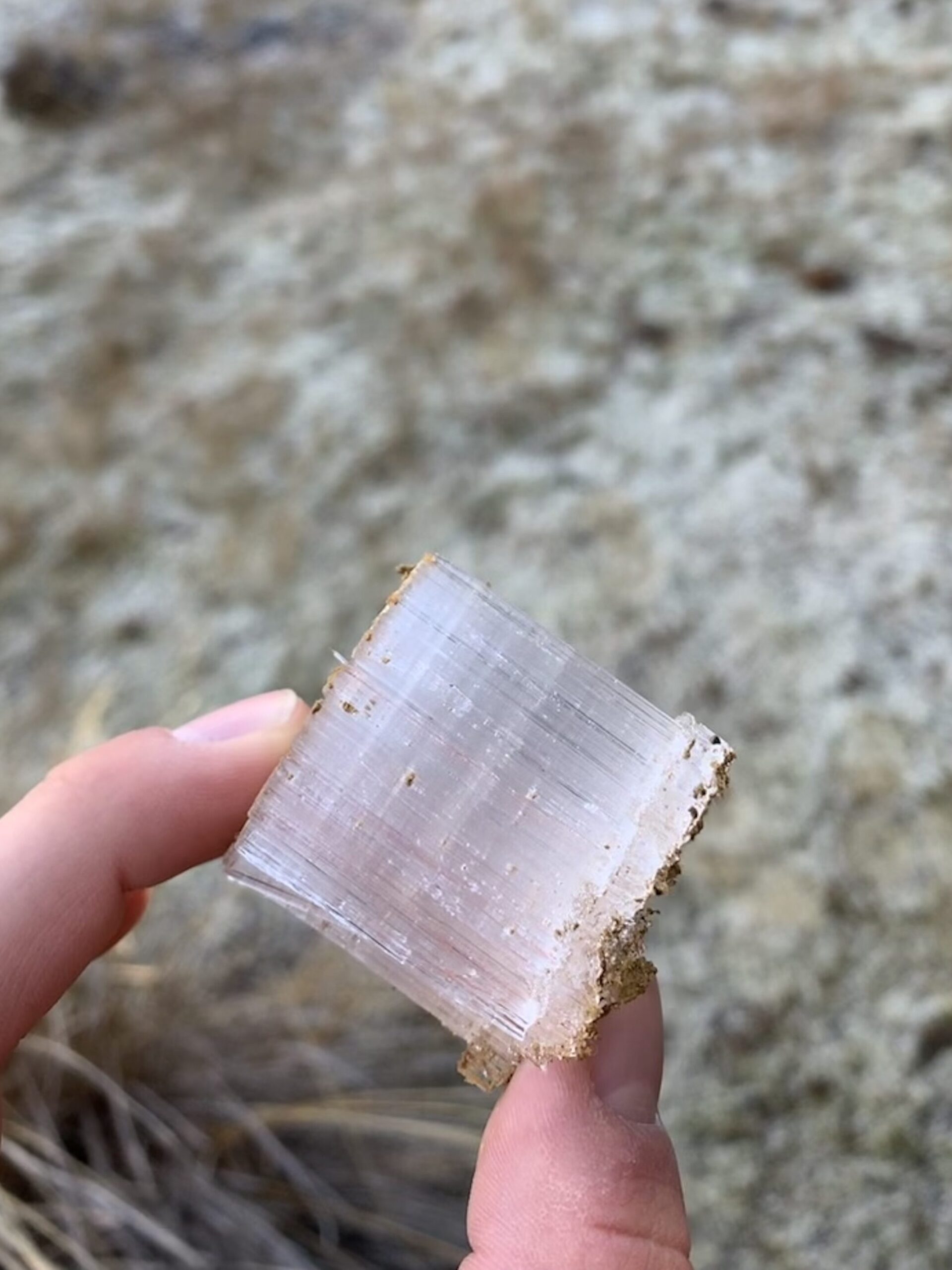
Needle Ice pictures!
Needle ice forms when water moves through pores in the soil and freezes at the surface. The pores give needle ice its unique wispy shape. It’s an important driver of stream bank erosion. Any time I come across it I try to take a picture.
